

U.S. Pacific Remote Islands: coral bleaching heat stress
How close the corals of the U.S. Pacific Remote Islands are to bleaching: NOAA satellites compare the water at its 3 reef areas with each reef's normal summer peak, add up the extra heat over the last 12 weeks and give each reef an alert level. Figures for November 20, 2026, updated once a day. How to read it
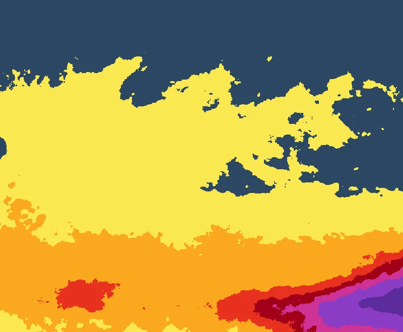 Howland and BakerJohnston AtollWake Atoll
- No stress
- Bleaching Watch
- Bleaching Warning
- Alert Level 1
- Alert Level 2
- Alert Level 3
- Alert Level 4
- Alert Level 5
Open the interactive heat-stress map
Reef areas of the U.S. Pacific Remote Islands
| Reef area | Alert today | Heat built up, 12 weeks (°C°F-weeks) | Water today | Above its summer peak | Where |
|---|---|---|---|---|---|
| Howland and Baker | Alert Level 1 | 7.313.2 | 30.4°C86.7°F | +1.6°C+2.8°F | 1°N 177°W |
| Johnston Atoll | No stress | 3.25.7 | 27.8°C82.0°F | no | 17°N 169°W |
| Wake Atoll | No stress | 2.74.8 | 28.0°C82.5°F | no | 19°N 167°E |
Source: NOAA Coral Reef Watch
Values for each reef area as NOAA Coral Reef Watch publishes them for its virtual stations. Heat stress is a risk of bleaching, not a report of bleached corals. What the alert levels mean.
Three remote reef areas
NOAA Coral Reef Watch follows three reef areas among the remote Pacific islands of the United States: Howland and Baker, two small islands just north of the equator in the central Pacific; Johnston Atoll, west-southwest of Hawaii; and Wake Atoll, between Hawaii and Guam. Jarvis Island, Palmyra Atoll and Kingman Reef, the other islands of the group, lie among the Line Islands, which NOAA counts with Polynesia.
A marine national monument
The waters around all of these islands are protected as a U.S. marine national monument, created in January 2009 and extended in September 2014 to the outer limit of U.S. waters around Wake, Johnston and Jarvis. It now covers about 1.27 million km² (490,000 sq mi) of ocean. NOAA’s monitoring finds these reefs, far from towns and fishing fleets, in better condition than the reefs near people in the U.S. Pacific, but hot water has still bleached and killed corals across the region.
Heat near the equator
Howland and Baker lie in the band of the Pacific that heats most during El Niño. After NOAA’s surveys of early 2015, the sea around Howland, Baker and Jarvis rose and stayed well above the bleaching threshold for nearly a year. When NOAA divers returned to Jarvis in May 2016, the heat had killed 95% of its coral.