

North Indian Ocean cyclone tracker
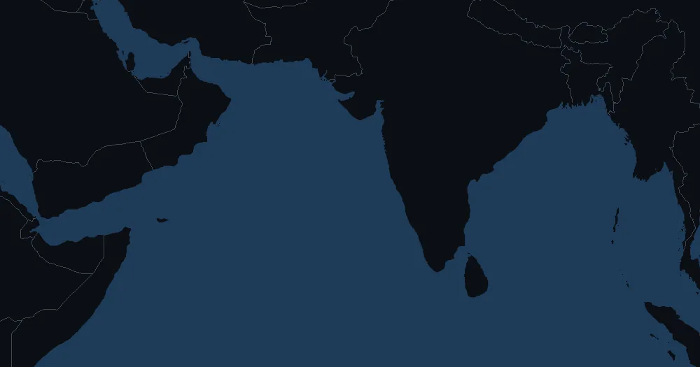
Cyclones in the Bay of Bengal and the Arabian Sea, from India, Bangladesh, Myanmar and Sri Lanka to Pakistan, Oman and Yemen: where each one is now, where forecasters expect it to go, and every storm of this season and the last.
- Depression
- Storm
- Cat 1
- Cat 2
- Cat 3
- Cat 4
- Cat 5
- Wind now
No tropical cyclones in the North Indian Ocean right now
The North Indian Ocean has two cyclone seasons: April to early June, before the monsoon, and October to December, after it.
The 2026 season
| Storm | Dates | Peak winds | Peak strength |
|---|---|---|---|
| Akvan | Nov 16–19 | 83 km/h52 mph | Tropical storm |
| Murasu | Nov 1–3 | 156 km/h97 mph | Category 2 |
| Arnab | Oct 26–29 | 220 km/h137 mph | Category 4 |
| Unnamed | Sep 22–24 | 83 km/h52 mph | Tropical storm |
The 2025 season
| Storm | Dates | Peak winds | Peak strength |
|---|---|---|---|
| Ditwah | Nov 26 – Dec 2 | 65 km/h40 mph | Tropical storm |
| Senyar | Nov 25–30 | 83 km/h52 mph | Tropical storm |
| Montha | Oct 25–29 | 83 km/h52 mph | Tropical storm |
| Shakhti | Oct 1–7 | 137 km/h85 mph | Category 1 |
| Unnamed | Oct 1–3 | 65 km/h40 mph | Tropical storm |
Source: IBTrACS (NOAA NCEI)
IBTrACS v04r01 (NOAA NCEI), fetched again whenever NOAA updates it; this year's tracks are provisional until the agencies' final best tracks. Storms active now are added from the latest NHC and JTWC advisories until the archive lists them. Winds are U.S. 1-minute values, so counts can differ slightly from the regional centre's own tally.
When the storms come
Unlike the other oceans, the North Indian Ocean has two cyclone seasons a year. The first runs from April to early June, before the southwest monsoon sets in; the second, usually the busier one, from October to December, after it. During the monsoon itself, from June to September, the strong winds high above the sea mostly keep depressions from growing into cyclones.
An average year
Five or six cyclones form in an average year, according to the India Meteorological Department, and about four of them in the Bay of Bengal for every one in the Arabian Sea. The Bay of Bengal is warmer, and it also takes in the remains of storms from the western Pacific.
Where they come from and where they go
Bay of Bengal cyclones usually head north or northwest towards the coasts of India, Bangladesh, Myanmar and Sri Lanka, where the shallow, funnel-shaped head of the bay can pile up deadly storm surges. Arabian Sea cyclones more often stay out at sea or head west towards Oman and Yemen, though some turn back towards India’s west coast and Pakistan.
Who forecasts and names them
The India Meteorological Department in New Delhi is the World Meteorological Organization’s regional centre for the North Indian Ocean. It names a storm when its winds reach 62 km/h (34 knots), taking the next name from a list of 169 drawn up in 2020: 13 from each of the 13 countries of the WMO/ESCAP Panel on Tropical Cyclones, used in order and never used twice. The India Meteorological Department averages winds over 3 minutes, so its figures fall between those of the U.S. Joint Typhoon Warning Center, whose 1-minute winds this tracker shows, and the 10-minute winds of most other centres; its top class, the super cyclonic storm, starts at 222 km/h138 mph.
Records
The deadliest tropical cyclone on record struck East Pakistan, now Bangladesh, on 12 and 13 November 1970. The World Meteorological Organization puts the death toll of the Bhola cyclone at about 300,000, most of them drowned by its storm surge. The disaster led to the WMO’s Tropical Cyclone Programme.